Our GIS Capabilities
End-to-end GIS expertise from infrastructure to applications
We are a Geospatial Technology and Integrated IT Engineering Specialist, providing end-to-end GIS expertise that covers infrastructure, data, analytics, automation, and application development.
Our team ensures that GIS is not just installed, but fully optimized to deliver real operational and decision-making value.
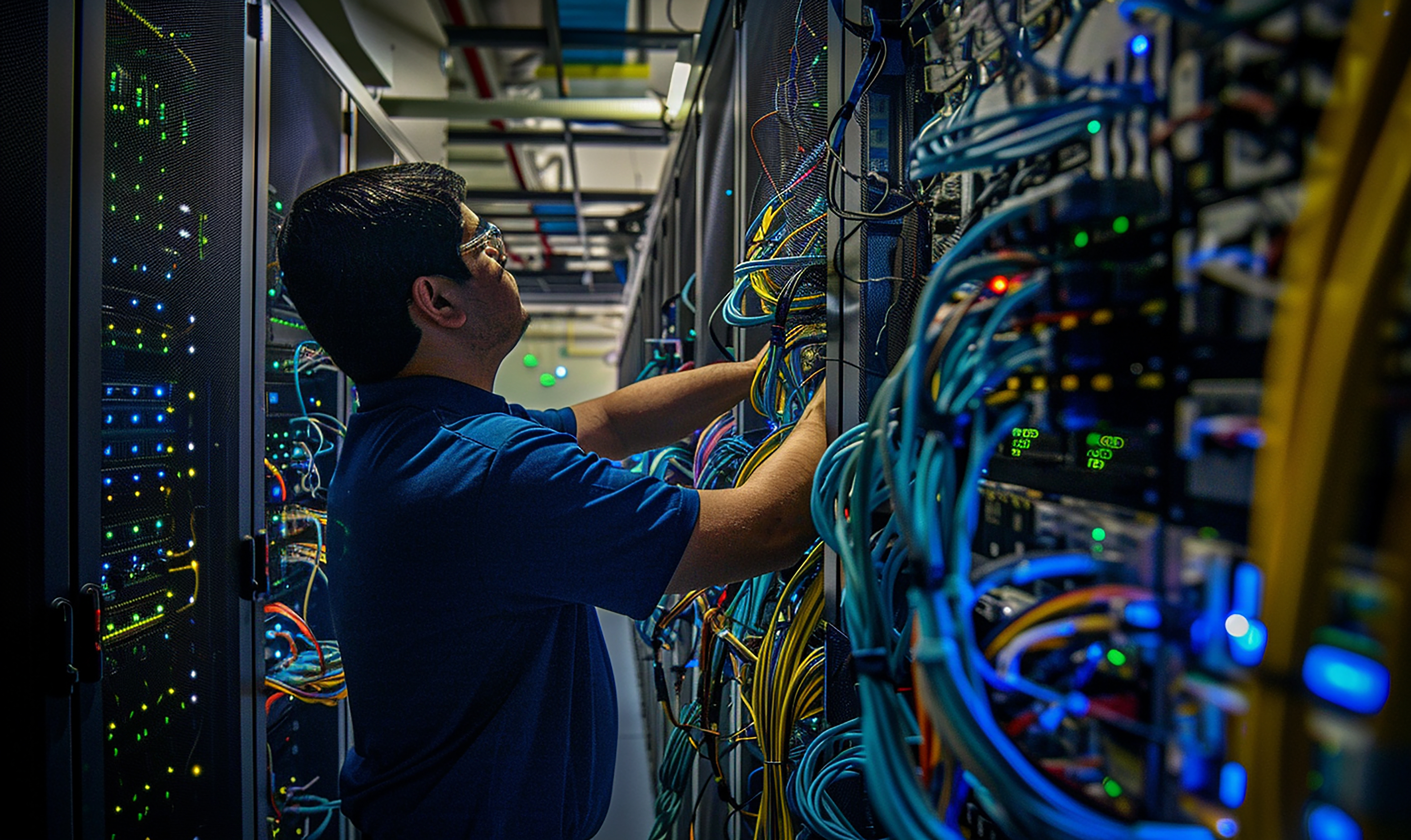
ICT Infrastructure for GIS
We handle the full technical foundation required for a stable and secure GIS environment. We make sure your entire GIS ecosystem works smoothly from infrastructure to applications.

Database Management & Data Processing
We manage and prepare the data that powers your GIS workflows. We turn scattered data into organized, usable information ready for analysis.
What we do
- Structure and organize complex datasets
- Clean, validate, and standardize spatial and non-spatial data
- Run data queries and optimize data performance
- Process datasets for analytics, dashboards, maps, and applications
- Prepare geospatial data for integration with enterprise systems

Geospatial Analysis & GIS Solutions
We go beyond map production and transform raw data into insights. Our goal is not just to create maps, but to deliver meaningful insights that support real-world decision making.
What we do
- Mapping, visualization, and spatial analytics
- Web application design using ArcGIS Experience Builder
- Mobile GIS solutions for field operations
- Remote sensing and image analysis
- Drone mapping and orthomosaic processing
- Esri StoryMaps for interactive presentations
- Geospatial dashboards for operational and executive visibility

Scripting, Automation & Application Development
We build custom tools that extend and enhance your GIS capabilities. We automate processes, integrate systems, and build custom GIS applications that solve real problems.
What we do
- Script-based automation for repetitive GIS tasks
- API creation and system integration
- Custom widgets and extensions for Experience Builder
- Web application development tailored to GIS workflows
- Programming in Python, JavaScript, and PHP
- Development using modern frameworks such as Laravel, React, and Next.js
Explore Our Solutions
See how we apply our expertise to solve real-world environmental and spatial challenges.
View Solutions