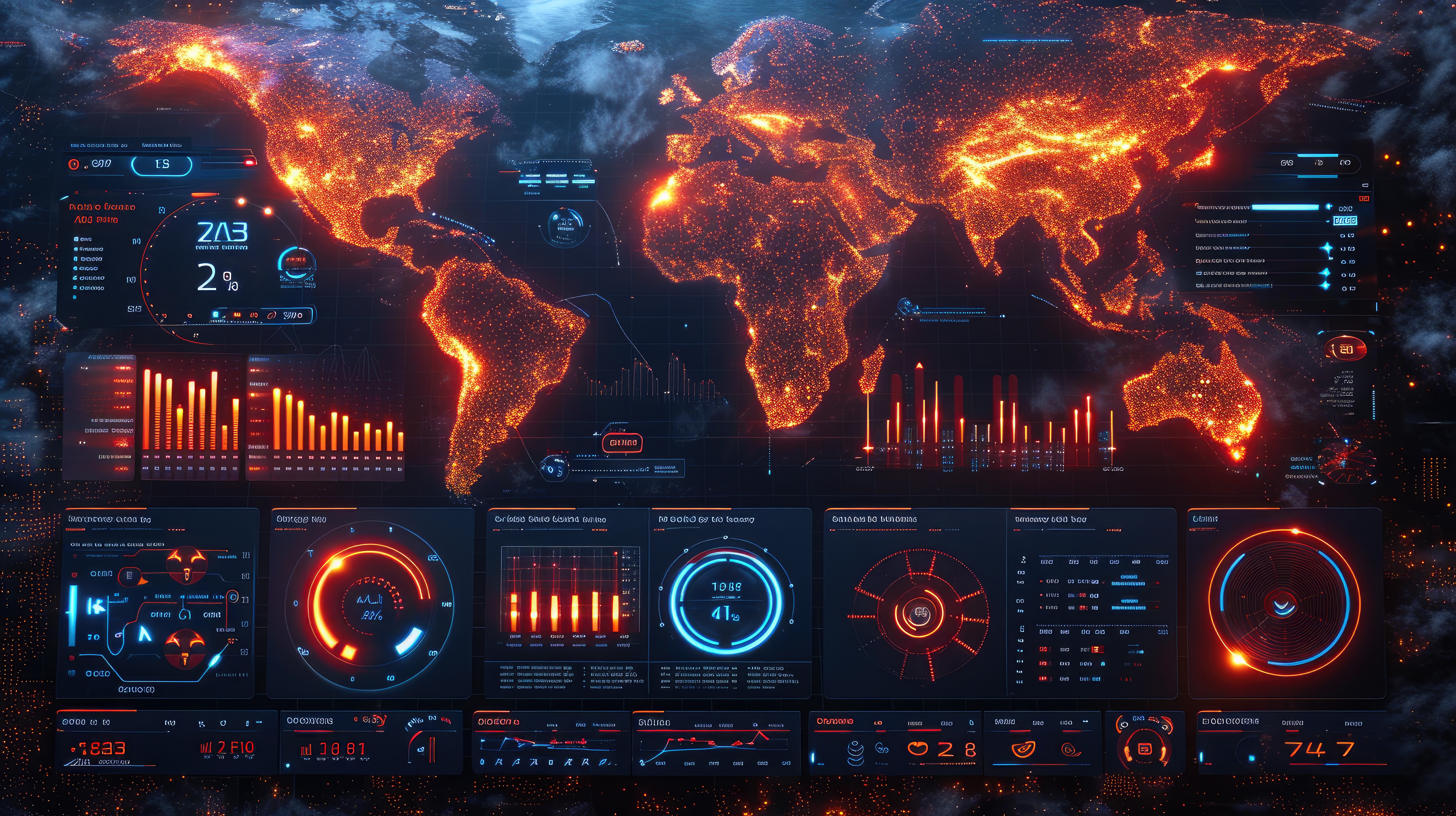
Solutions
Advanced geospatial solutions for environmental intelligence
We provide advanced GIS solutions that help governments, agencies, and organizations understand environmental risks, monitor natural resources, and make data-driven decisions.
Our capabilities combine geospatial science, remote sensing, LiDAR, modelling, and field data analytics to deliver clarity in complex environmental challenges.
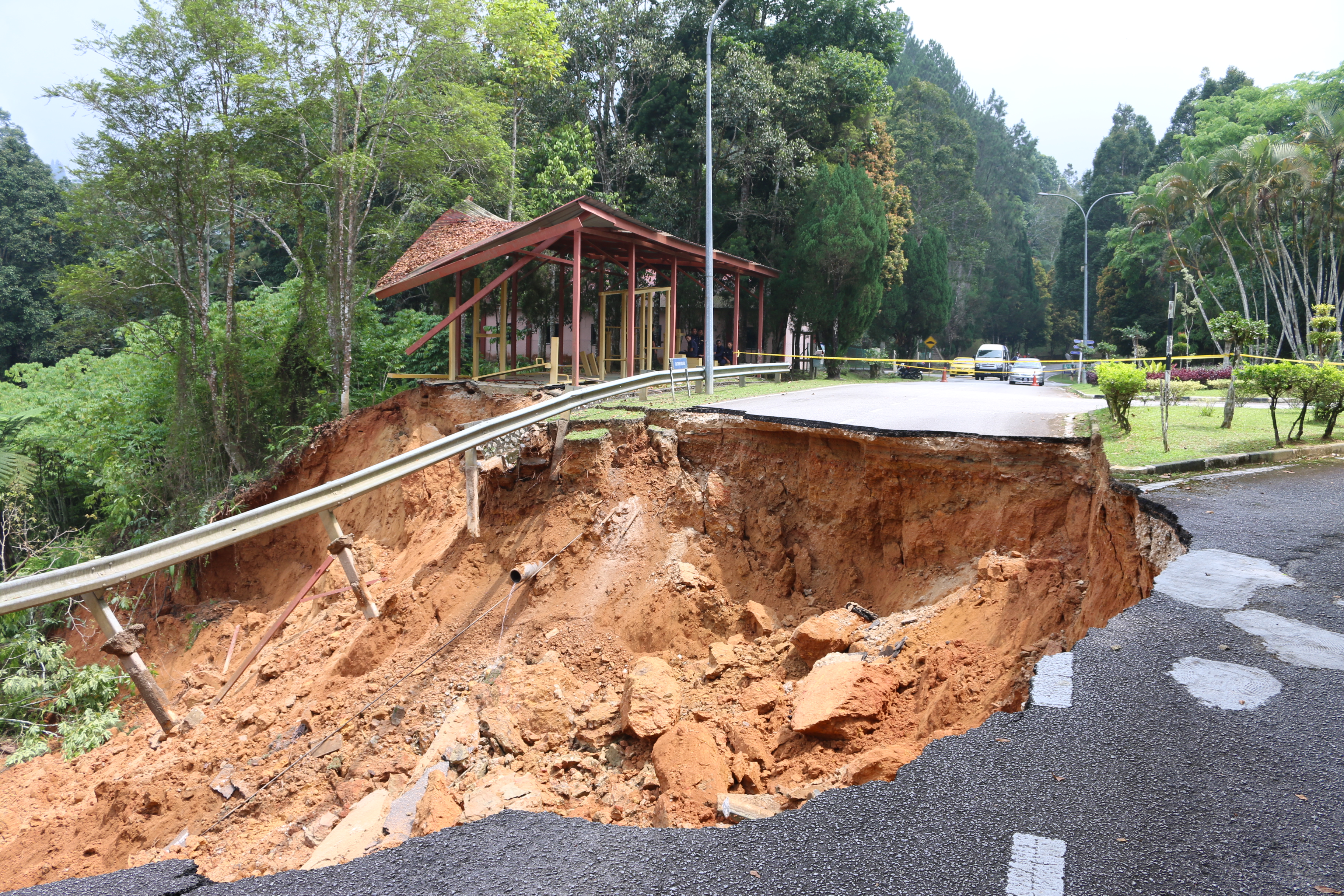
Landslide Hazard Mapping
We analyze terrain, soil, rainfall, and geological factors to identify landslide-prone zones.
Our GIS models support early warning systems, infrastructure planning, and disaster risk reduction.
Disaster Response & Recovery Mapping
We use GIS to support emergency planning and real-time coordination during disasters.
This includes mapping affected populations, safe routes, supply distribution, and recovery assessments.
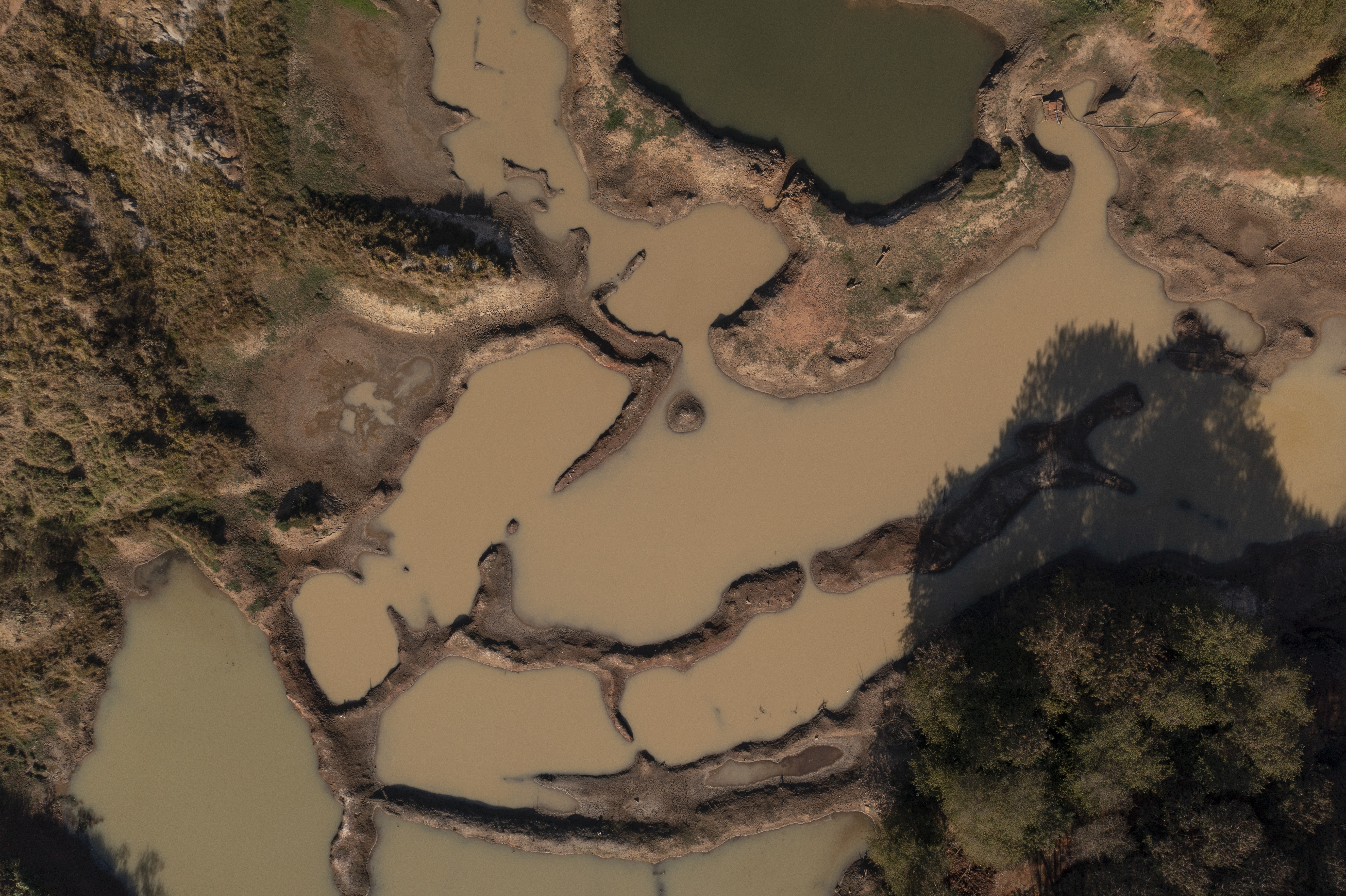
Groundwater Contamination Mapping
We map contamination sources, monitor pollutant movement, and assess groundwater vulnerability.
This helps environmental agencies protect water resources and design mitigation strategies.
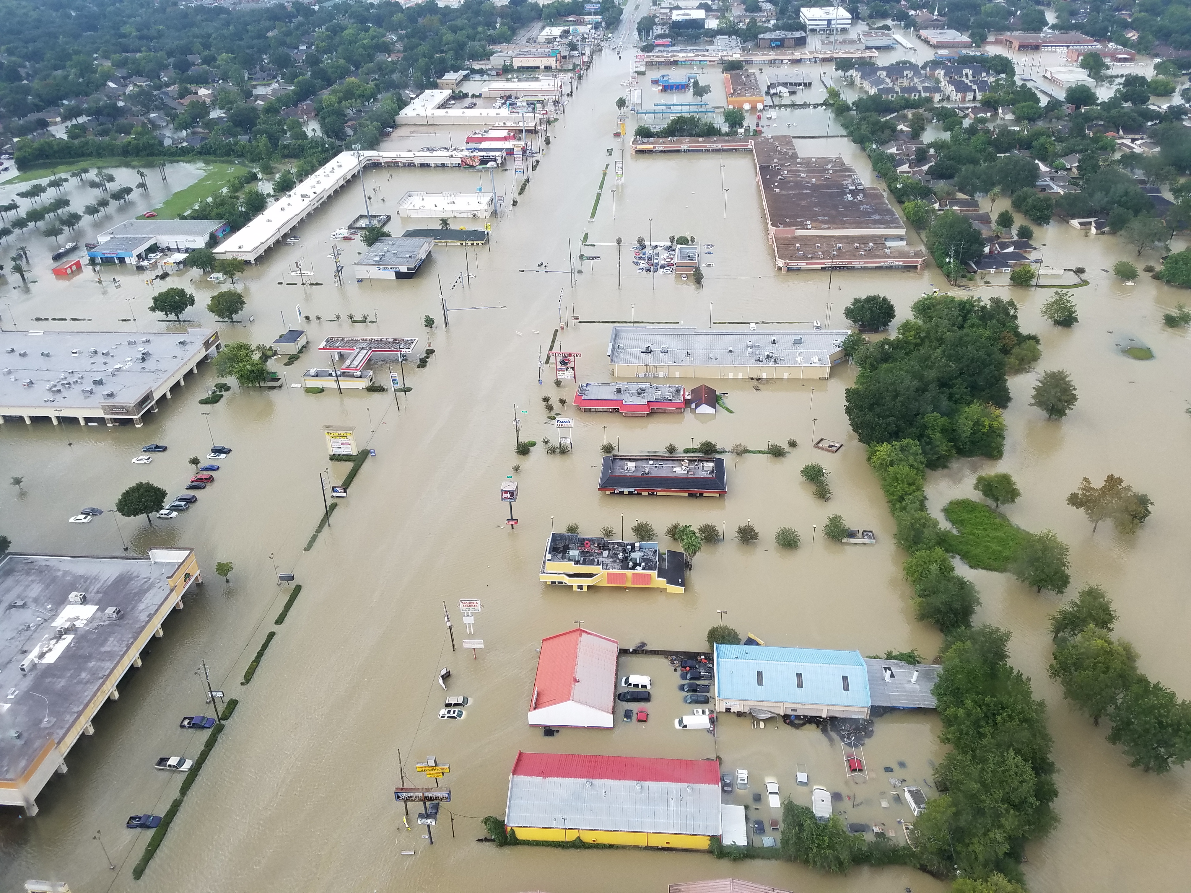
Flood Risk Assessment
We model flood-prone areas using hydrology, elevation data, rainfall intensity, and historical events.
GIS outputs support early warnings, evacuation planning, and resilient infrastructure design.
Water Quality Monitoring
We track water quality parameters spatially to detect pollution sources and environmental degradation.
Our analytics help organizations protect aquatic ecosystems and ensure compliance with standards.
Deforestation Monitoring & Forest Change Detection
We detect forest loss, illegal logging, and vegetation changes using satellite imagery and GIS analysis.
This supports conservation programs, enforcement activities, and land-use policy planning.
LiDAR Data Analysis & Terrain Modelling
We process LiDAR datasets for high-accuracy spatial intelligence:
- Digital elevation models (DEM)
- Terrain visualization and slope analysis
- Flood and landslide modelling
- Forest canopy and biomass assessments
LiDAR provides high-accuracy spatial intelligence for planning and environmental management.
Precision Agriculture with GIS
We apply geospatial and remote sensing tools to optimize farm operations:
- Mapping crop health
- Monitoring soil variability
- Improving irrigation efficiency
- Enhancing agricultural productivity
GIS supports smarter, more sustainable farming practices.
Ready to Leverage GIS for Your Organization?
Let's discuss how our geospatial solutions can help you make better decisions and manage environmental challenges effectively.
Get in Touch